What is Earth Observation?
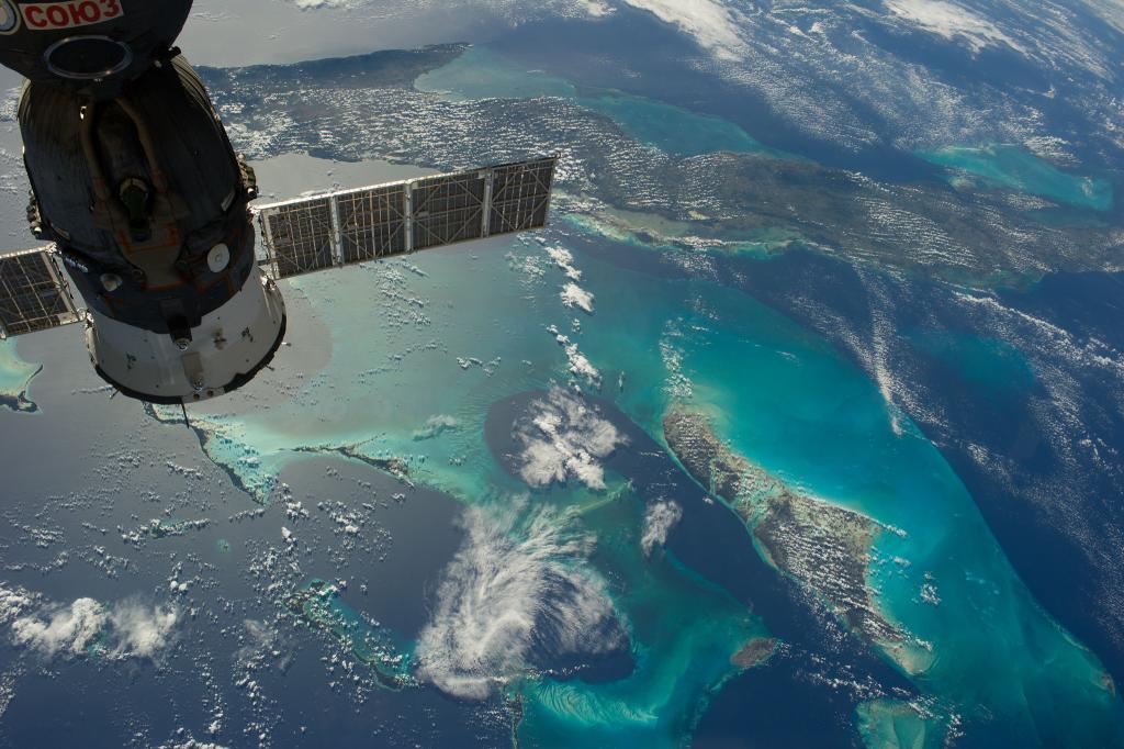
The Netherlands Space Office (NSO) promotes the use of satellite earth observation data. Earth Observation (EO) data means collecting information about the Earth’s surface, waters and atmosphere via ground-based, airborne and/or satellite remote sensing platforms. This data is used to understand how our environment and societies are changing over time. It can be used to help the region’s societal, environmental, and economic ambitions. Think of: environmental protection, energy, managing urban areas, regional and local planning, agriculture, fisheries, health, transport, climate change, civil protection, tourism – and more.
Earth Observation can be seen as an extra ‘sense’, think of:
- Detecting existing plant diseases in time
- Sending inspectors and police to areas where the risk of irregularities is highest
- Getting an overview of trees and bushes in gardens for a local environmental policy plan
- Getting insights in opportunities for solar panels on roof tops of buildings
High resolution data for the Dutch Caribbean
The NSO operates the national Satellite Data Portal, which offers free access to very high resolution EO data covering the territory of The Netherlands to users residing in the country. As of December 2023, the coverage of the Satellite Data Portal includes the Caribbean Netherlands: Bonaire, Saba, and Sint Eustatius.
Since then, NSO is stimulating the use of EO data in the Dutch Caribbean. In this Thesis Lab, NSO asks students how they can improve the use of Earth Observation data for the Dutch Caribbean, including investigating potential case studies for further expansion.
Main CHALLENGE
How can we use satellite Earth observation data in the Dutch Caribbean to help the region’s societal, environmental and economic ambitions?
themes
For this Thesis Lab we define four challenges, which we invite students to apply for. Students are encouraged to explore and use Copernicus data and services, as well as the very high resolution EO data in the Satellite Data Portal:
Theme 1 – Social impact:
- How can Earth Observation data be integrated into local practices and decision-making in the Dutch Caribbean?
- What are strategies to stimulate the use of Earth Observation data among communities, businesses, NGOs, and local governments?
Theme 2 – Business opportunities:
- What are business opportunities for the use of Earth Observation in the Dutch special Municipalities, The Dutch Caribbean, and broader Caribbean region?
- What are chances for Earth Observation driven entrepreneurship and innovation in the Dutch Caribbean?
Theme 3 – Law and policy:
- Assessing the use of Earth observation data in the framework of international, regional and/or national environmental regulations.
- Assessing the status of the application and implementation of the UN space treaties, and other space-related instruments, in the Dutch Caribbean (constituent countries and/or special provinces).
Theme 4 – Case studies:
- How can we use Earth observation science and/or technology to strengthen ecology (vegetation trends), health (air quality and heat stress), flood monitoring and water quality (such as sargassum and coral monitoring) in the Dutch Caribbean?
- How can we use Earth observation data to create risk maps for construction purposes in the Dutch Caribbean?
Students are encouraged to explore and use Copernicus data and services, as well as the very high resolution EO data in the Satellite Data Portal (depending on the theme you will be investigating, some themes required in depth use of the data and others less).
Depending on the exact topics of the thesis assignment, the appropriate experts and contacts from the Dutch Caribbean, Dutch space industry, and Dutch ministries, as well as Dutch universities will be contacted and involved.
Caseholders
The Netherlands Space Office (NSO) is the governmental Space Agency of the Netherlands. NSO’s task is to advice upon and realise the national space policy. It hosts the Satellite Data Portal to stimulate use of Earth Observation data that is now also including the Dutch Caribbean.
This Thesis Lab is an initiative of the LDE Program Space for Science and Society. This program provides students the opportunity to work on Space challenges, learn about other disciplines and work together on solving challenges that cannot be tackled with a single expertise.
The LDE Space program collaborates with the Learning Community Sustainable Environments Curacao.

Interesting Reads
Master's Students Start Research on Space Evidence for Human Rights and Humanitarian Law
‘We moeten het idee achter het Satellietdataportaal veel verder uitbouwen’ | Spaceoffice.nl (In Dutch)
Gebruikersverhalen | Spaceoffice.nl (In Dutch)

